systems
flood.
flight.
food.
There are three things that happen in the Yolo Basin every year: it floods, birds show up, and rice gets grown. These events depend heavily upon each other. This page shows that connection through real data from the basin.
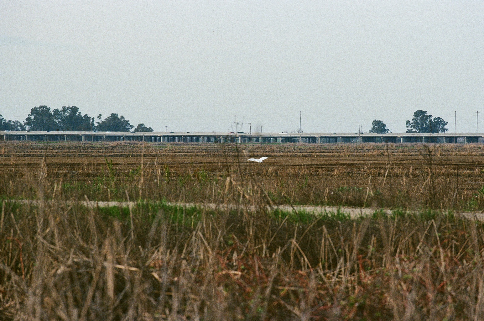 systems-hero.png
six years of data
2018–2023, all Yolo County and Yolo Basin sources. Each bar group shows one year. Use the buttons to show or hide each dataset. Hover a year to see the numbers.
show / hide
Look at 2022. A bad drought year across California hit Yolo County hard: rice acreage dropped from about 23,000 acres to just 9,507, the lowest in years, because farmers simply didn't have enough water to plant. The Fremont Weir barely overtopped. Bird activity at the wildlife area also dropped. Then 2023 came with record winter rains and everything jumped back up. Rice hit 29,974 acres. You can see all three bars move in the same direction at the same time.
what happens each month
Hover or click any month to read what the flood, the birds, and the rice are doing. The three rings show how active each system is. The more vibrant the ring is the more things are happening.
hover a month to start
who shows up
Ten of the most commonly seen birds at the Yolo Bypass Wildlife Area, based on eBird records from Hotspot L443535. Filter by season. Each card explains why that bird is there and how it connects to the water or the rice.
Bird data: eBird / Cornell Lab of Ornithology, Hotspot L443535 (Vic Fazio Yolo Wildlife Area). Peak counts from Napa Solano Audubon Society and Yolo Bird Alliance field records. Bird call recordings from xeno-canto.org — Creative Commons licensed. Each recording is credited to its recordist. See live eBird data for this hotspot →
rice in yolo county
Six years of rice data from the Yolo County Agricultural Commissioner's Crop Report, a Yolo County-only source. After harvest each fall, these same fields get flooded on purpose. That's the water the birds rely on all winter.
 rice-field.png
| Year | Acres Harvested | Total Tons | Gross Value | Water Year | What happened |
|---|
After harvest, rice fields in the bypass are flooded between October and March. Farmers get paid to do this through state and federal wetland programs. The leftover grain feeds waterfowl. The flooded stalks grow the bugs that shorebirds eat. In a good water year, the managed flooding and the natural Fremont Weir floods overlap and the basin becomes one of the most important bird stopovers on the West Coast.
Source: Yolo County Department of Agriculture, Weights & Measures — Annual Crop & Livestock Reports 2018–2023. Yolo County data only. yolocounty.gov/ag →
how it connects
 connection-diagram.png
The river goes over the weir
When the Sacramento River runs high enough in winter, it spills over the Fremont Weir, a 1.8-mile concrete structure on the north end of the bypass. That's when the basin floods. The target for good wildlife habitat is at least 14 days of strong flow. In 2023, it stayed flooded for 73 days.
floodBirds find the water
Flooded fields mean food. Shallow water exposes the small insects and seeds that shorebirds and waterfowl live on. Over 200 species show up at the Yolo Bypass Wildlife Area each year. The winter birds, cranes, pintails, dunlin, are here specifically because the fields are wet.
flightThe rice fields stay wet after harvest
Farmers flood their harvested rice fields each fall as part of straw management, it's cheaper than burning, and there are programs that pay them to do it for wildlife. The leftover rice feeds ducks and geese. It also sets up the next growing season. In a wet year, this managed flooding and the natural bypass flooding layer on top of each other.
foodWhen drought hit in 2022, farmers planted 59% less rice because water was short. The Fremont Weir barely overtopped. Fewer flooded fields meant less bird habitat, and the numbers at the wildlife area dropped too. When the rains came back in 2023, so did the rice acreage and the birds.